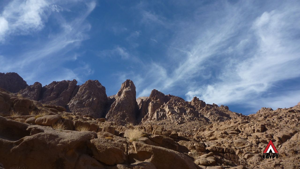
 The original Three Peaks Egypt Challenge route is shown on the Google Map below. It is interactive. Zoom in, zoom, out slide it around, go wherever you want. It is a satellite image giving a realistic feel for the landscape. It is possible to zoom into a level where a single boulder or tree is visible. This map is designed to be used with the official trail guide – which can be downloaded here – and the official GPS info sheet (below). It is a planning resource and should not be a primary means of navigation. It is a way to get to know the route and as much as possible about it before starting. Navigation on the challenge is done at speed, under pressure and sometimes at night, and experienced Bedouin guides will be responsible.
OFFICIAL GPS INFORMATION SHEET, THREE PEAKS EGYPT CHALLENGE
MAP LEGEND
RED LINE – Original 38km Three Peaks Egypt Challenge route. Since it was founded in 2015, several variations have been made on the route, two of which are officially recognised. All remain close to the original route but do not follow it exactly. This is important for any record attempts.
RED PINS – The map has 32 red pins. Each has a number – 1, 2, 3 etc. which corresponds to one of the 32 GPS waypoints. More information about each waypoint is given in the GPS info sheet, which can be downloaded above.
YELLOW LINES – Early exits from the challenge. Use them to finish early, in emergencies etc. Or as alternative entry points to any part of the trail.
YELLOW PINS – The end of yellow exit routes. You will find help close by these.


